-40%
3 Vintage National Geographic Maps Latin America
$ 0.52
- Description
- Size Guide
Description
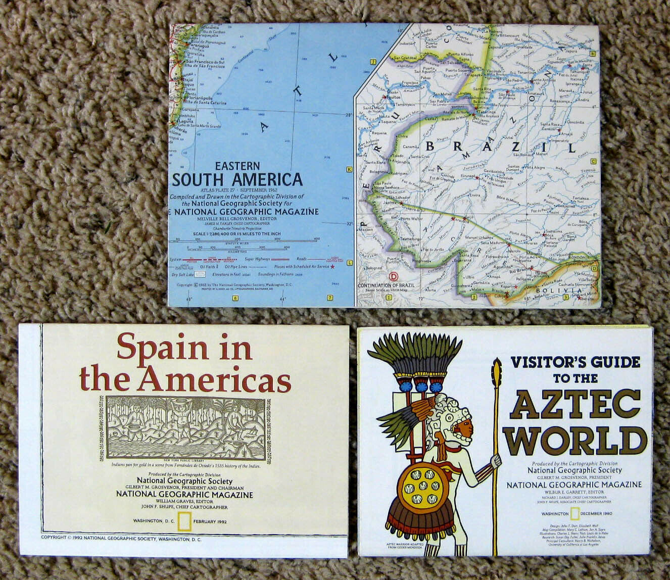
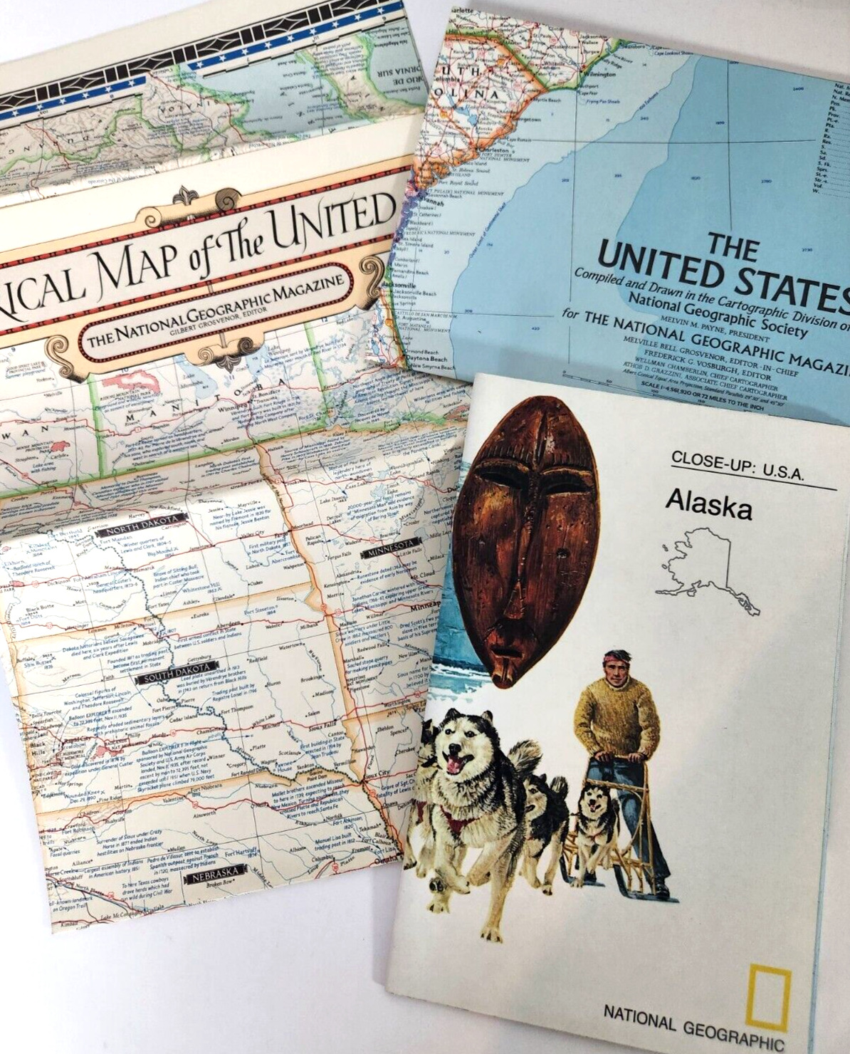
This is a lot of three poster maps fromNational Geographic
.
All were produced by the Cartographic Division, National Geographic Society.
All are © National Geographic Society, Washington, D. C., with dates ranging from 1962 to 1992.
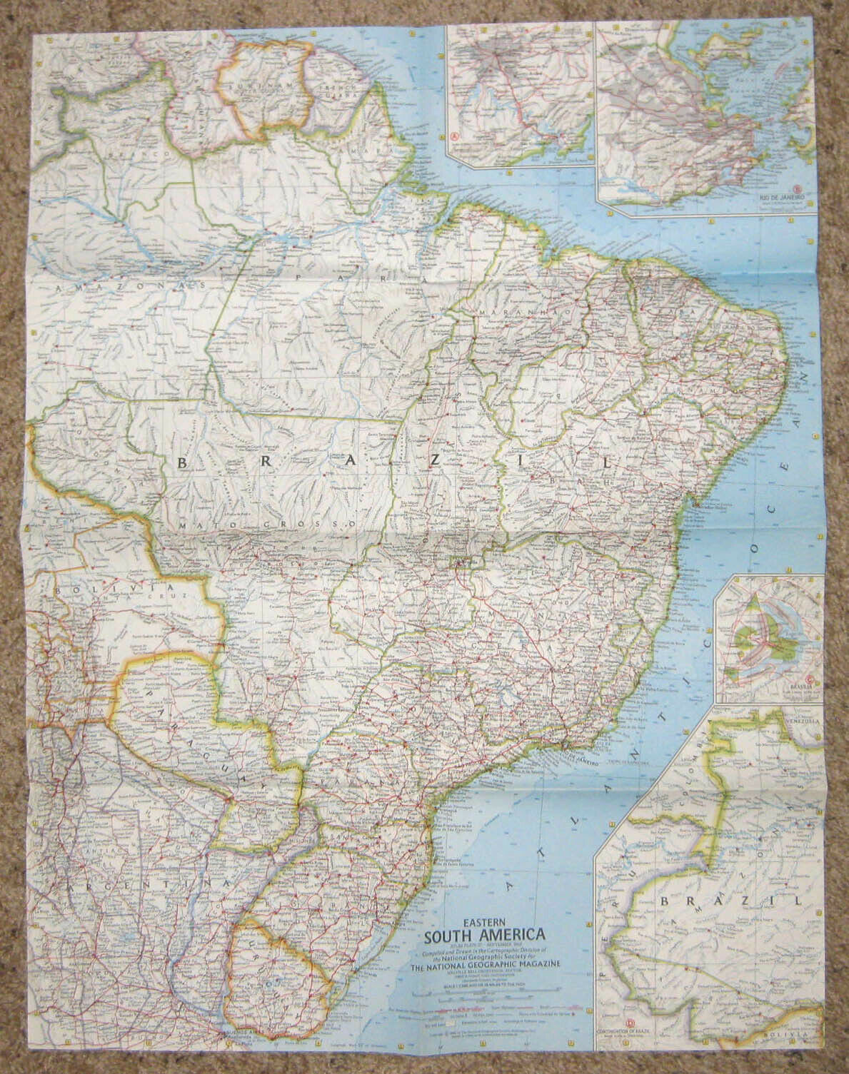
Eastern South America
.
The map shows the eastern part of Brazil; the countries of Uruguay, Paraguay, Surinam, British Guiana, and French Guiana; and parts of Argentina, Bolivia, and Venezuela.
There are inset maps of the western part of Brazil and the cities of Rio de Janeiro, São Paolo, and Brasilia.
The map measures about 25” x 19”.
© 1962.
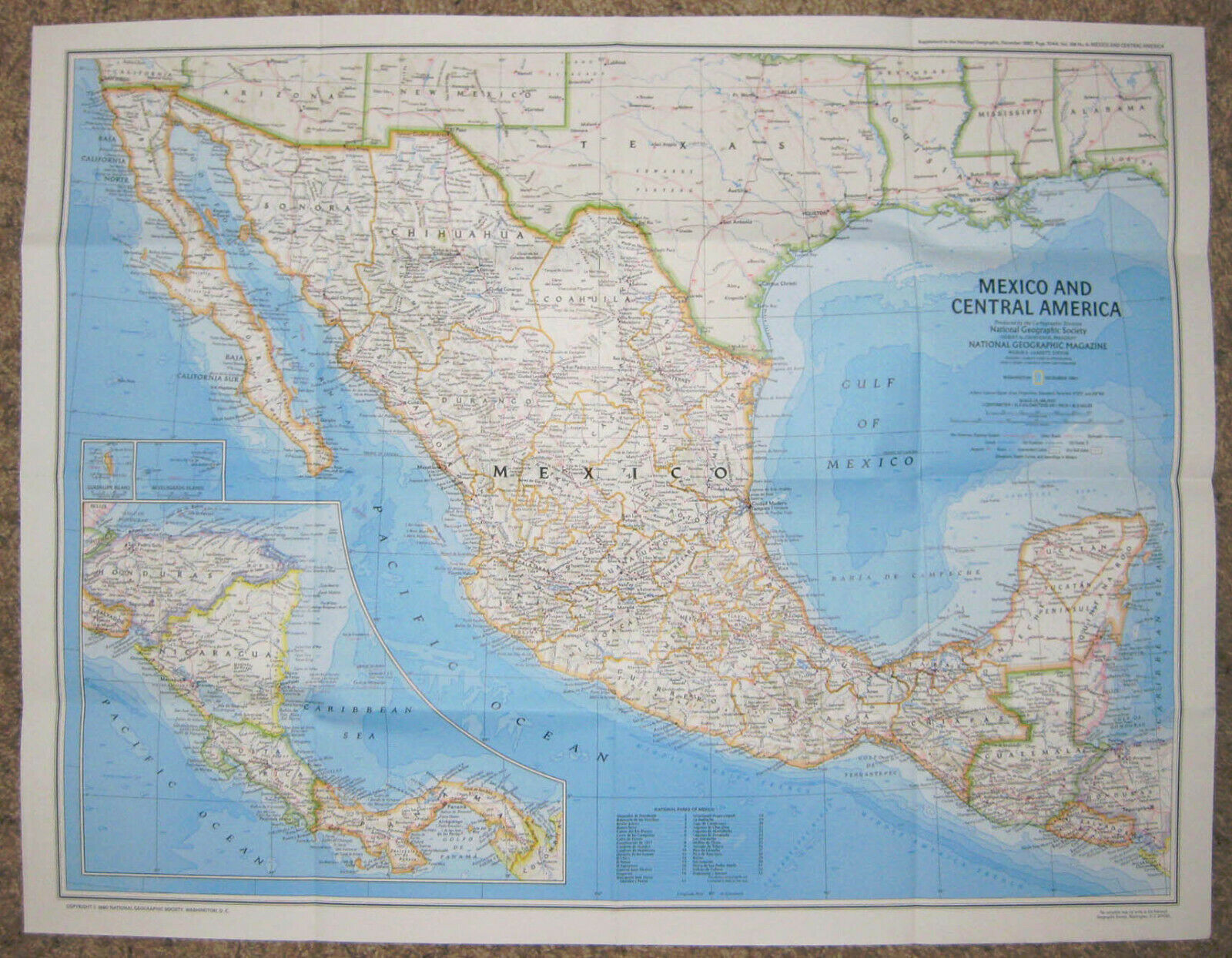
Visitor’s Guide to the Aztec World
.
One side has a map of Mexico and Central America.
The other side has maps showing the Valley of Mexico and Mexico City, along with pictures and brief descriptions of historical events and landmarks in those areas.
The map measures about 25¾” x 20”. © 1980.
Spain in the Americas
.
One side has a map showing parts of North and South America with routes taken by Spanish explorers, along with pictures and brief descriptions of the accomplishments of those explorers.
The other side is called “The Grand Exchange” and shows trade routes and commodities across the Atlantic Ocean.
The map measures about 29” x 20⅜”.
© 1992.
All three maps are in excellent condition, with no writing and no tears.
There are only two pinholes at the folds in the Aztec World map and no pinholes in the other two maps.
International shipping only through the eBay Global Shipping Program.
The map is pictured open to show what is depicted, but the pictures do not show the quality of the map.
It is difficult to get the lighting just right, so there may be bright or dark spots that are not actually on the map.
